 Dealer Nearby
 Partner
Center
Partner
Center MENU
MENU
 Français
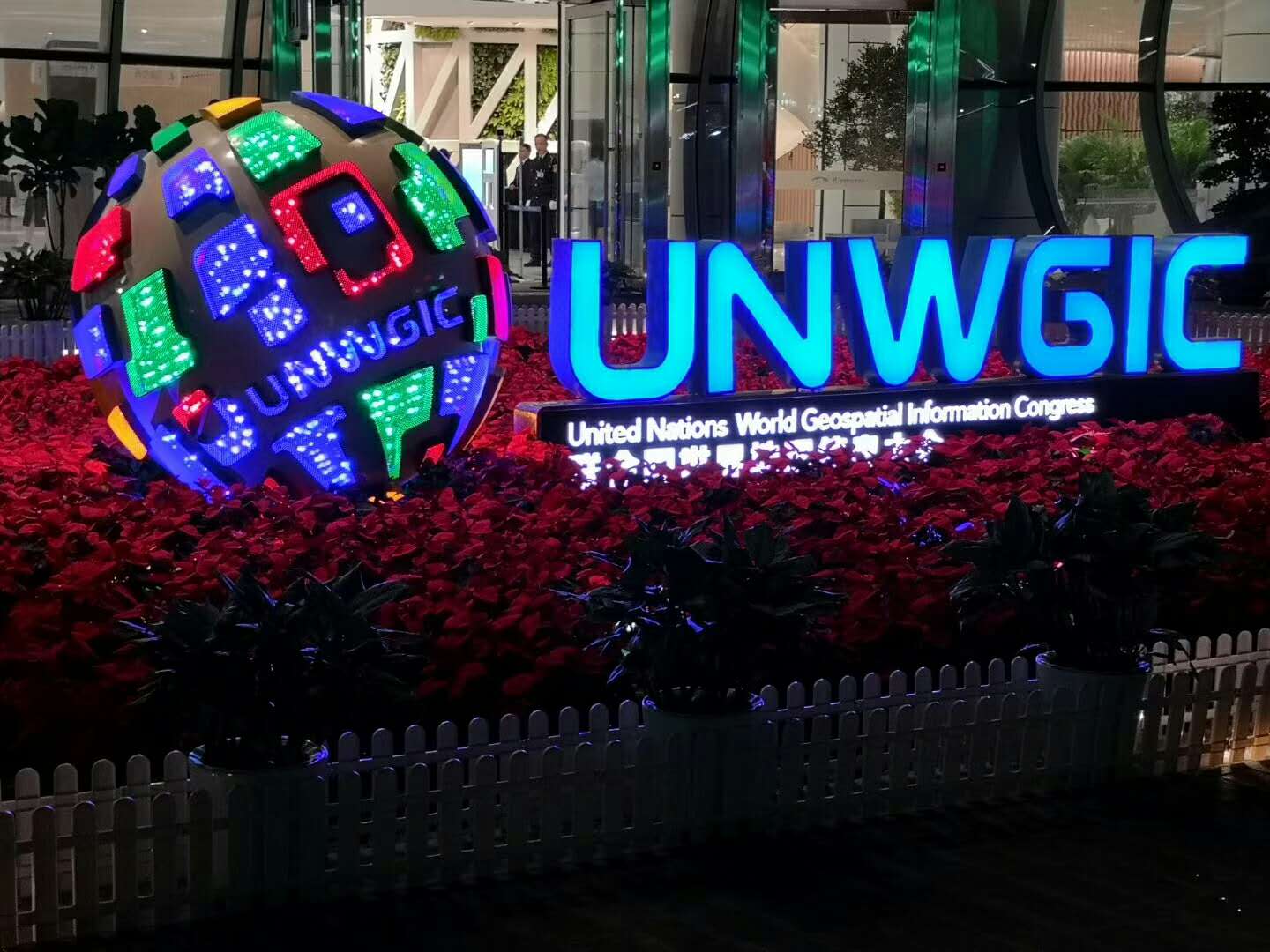
The First UNWGIC Came to an End in China
 2018-11-22
Compartir con:


The United Nations World Geospatial Information Congress (UNWGIC 2018) has drawn to a close in Deqing, Zhejiang province, China. The UNWGIC involved the officials from the governments of the Member States of the U.N. and the specialists in the field of Geographic information while the Geospatial Technology and Application Exhibition of the UNWGIC showed advanced technologies and applications of more than 200 world exhibitors in fields such as geospatial information, satellite navigation, and aerospace remote-sensing.
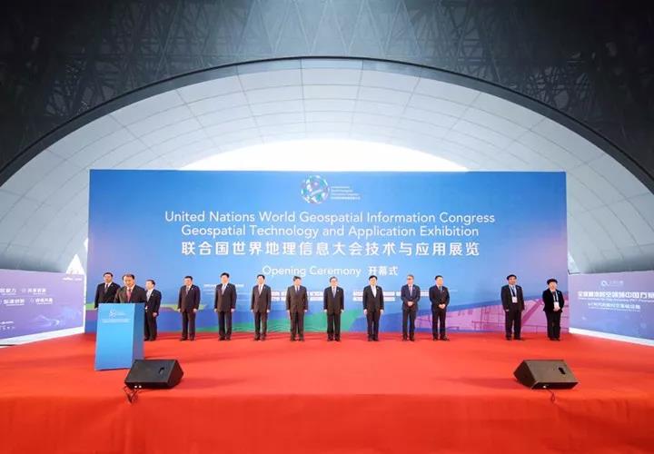
Opening Ceremony of UNWGIC Geospatial Technology and Application Exhibition
Hi-Target International Group Ltd. attended the Geospatial Technology and Application Exhibition with comprehensive product layout, including terrestrial, hydrographic, and aerial high-precision mapping applications as well as the full range of solutions. The cutting-edge products attracted lots of guests from both home and abroad.
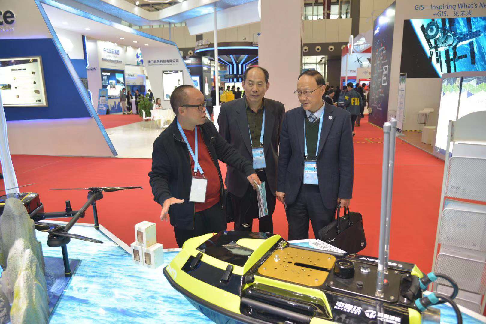
Hi-Target staff is introducing the products to the guests
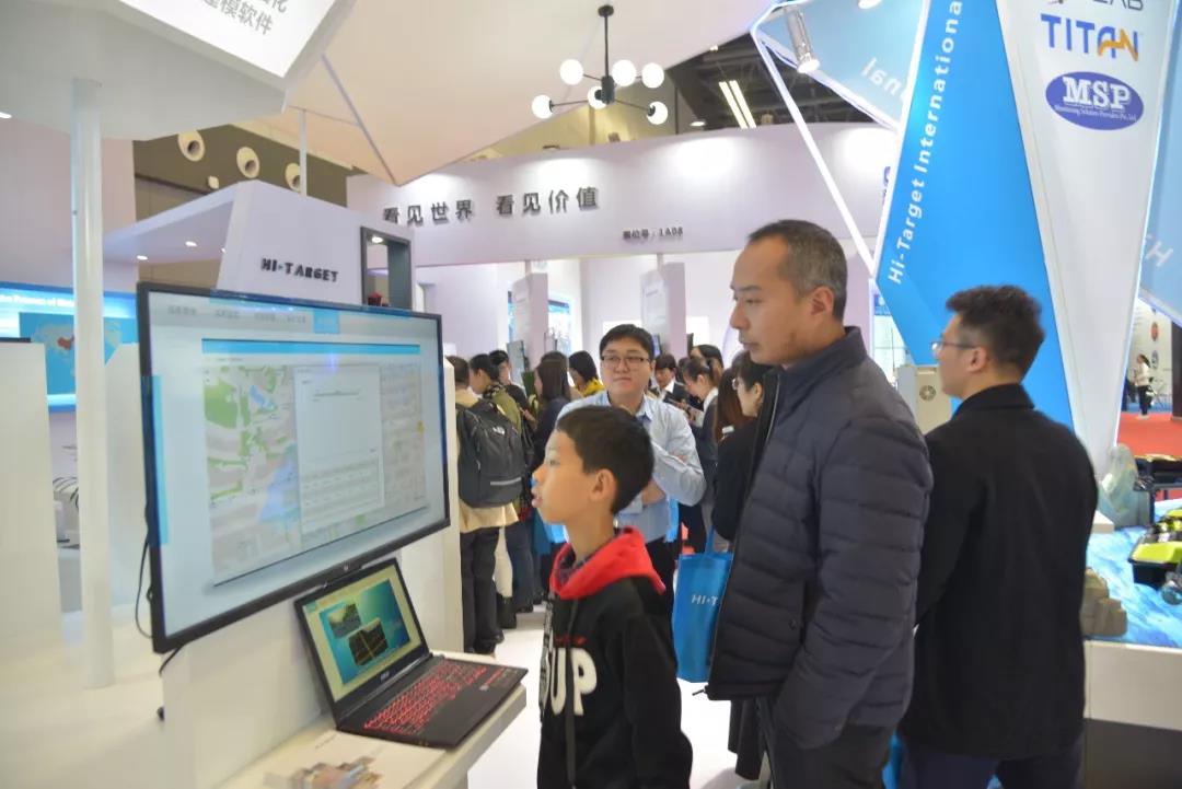
A boy is concentrating on Hi-Target’s solutions
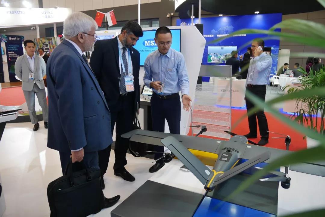
Hi-Target staff is introducing the products to the guests
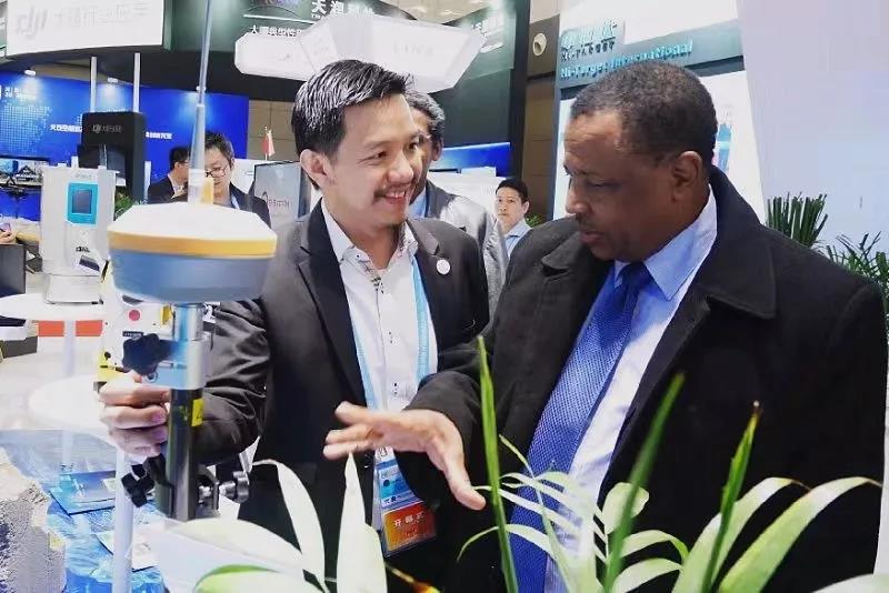
Hi-Target staff is introducing the products to the guest

Staff of MSP, a Swedish based global satellite positioning solutions company and partner of Hi-Target, is showing the solu-tions to the guests. MSP recognizes that there are no monitoring projects similar in nature and is able to customize solutions to suit the requirement of the monitoring scheme.
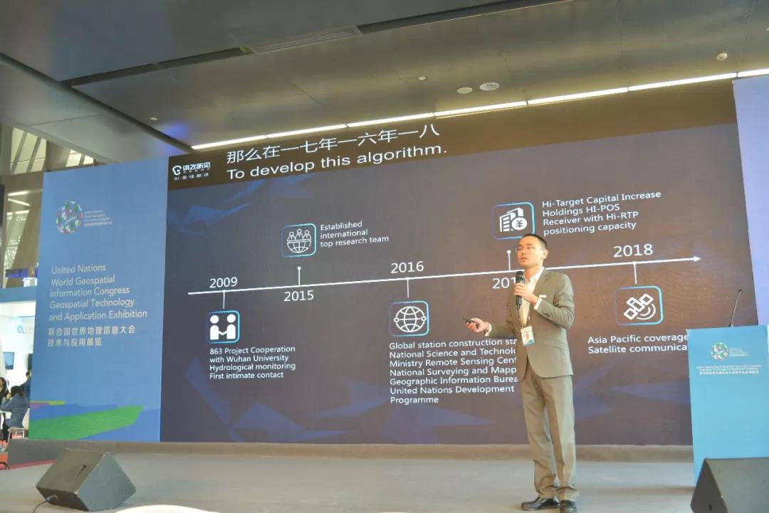
Besides the Geospatial Technology and Application Exhibition, the UNWGIC also included global and regional meetings, and technical side events. For example, the Geospatially Enabled Industry Development at which J.W Chen, the President of Hi-Target International Group Ltd., made a report of “Evolution of Technology in Big Data Management for Construction Industry”.
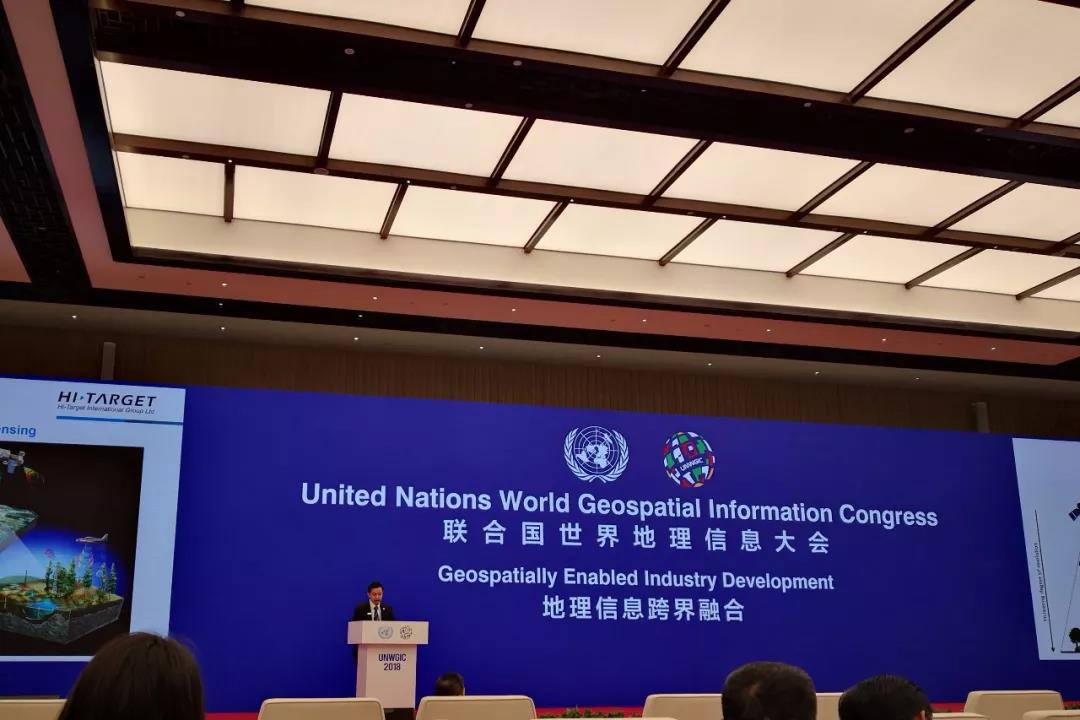
J.W Chen is making a report of “Evolution of Technology in Big Data Management for Construction Industry” at the Geospatially Enabled Industry Development.
In particular, “The Power of Precise Positioning” -- Hi-Target Global Strategy Release took place in Hall 1(East Hall) on Nov. 20th. At the conference, J.W Chen, the President of Hi-Target International Group Ltd., introduced the Business Roadmap of Hi-Target International Group Ltd. He said that Hi-Target would transform from a hardware manufacturer to a vertical market focus corporation who focuses on providing professional solutions and superior services. As parts of the transformation, Hi-Target International Group Ltd. has established a strategic partnership alliance, respectively, with Appleton, ESRI Inc and MSP.
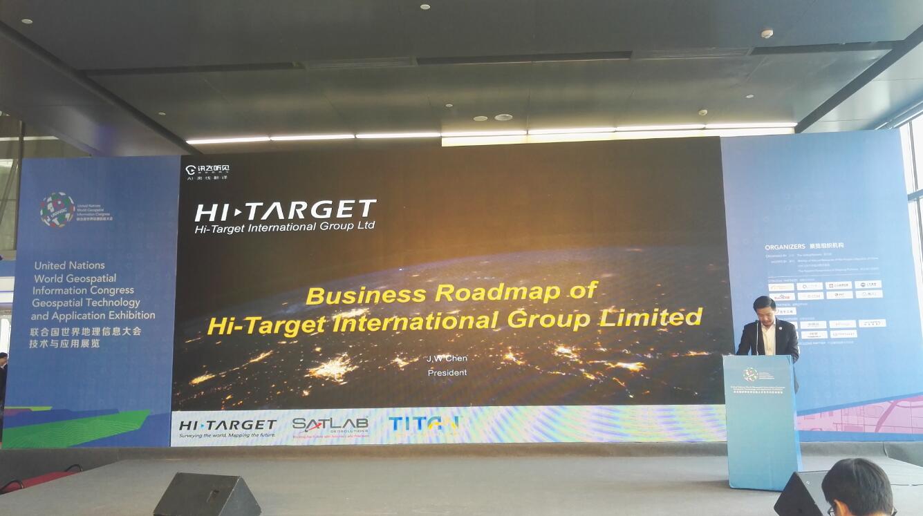
J.W Chen is introducing the Business Roadmap of Hi-Target International Group Ltd. at “The Power of Precise Positioning” -- Hi-Target Global Strategy Release.
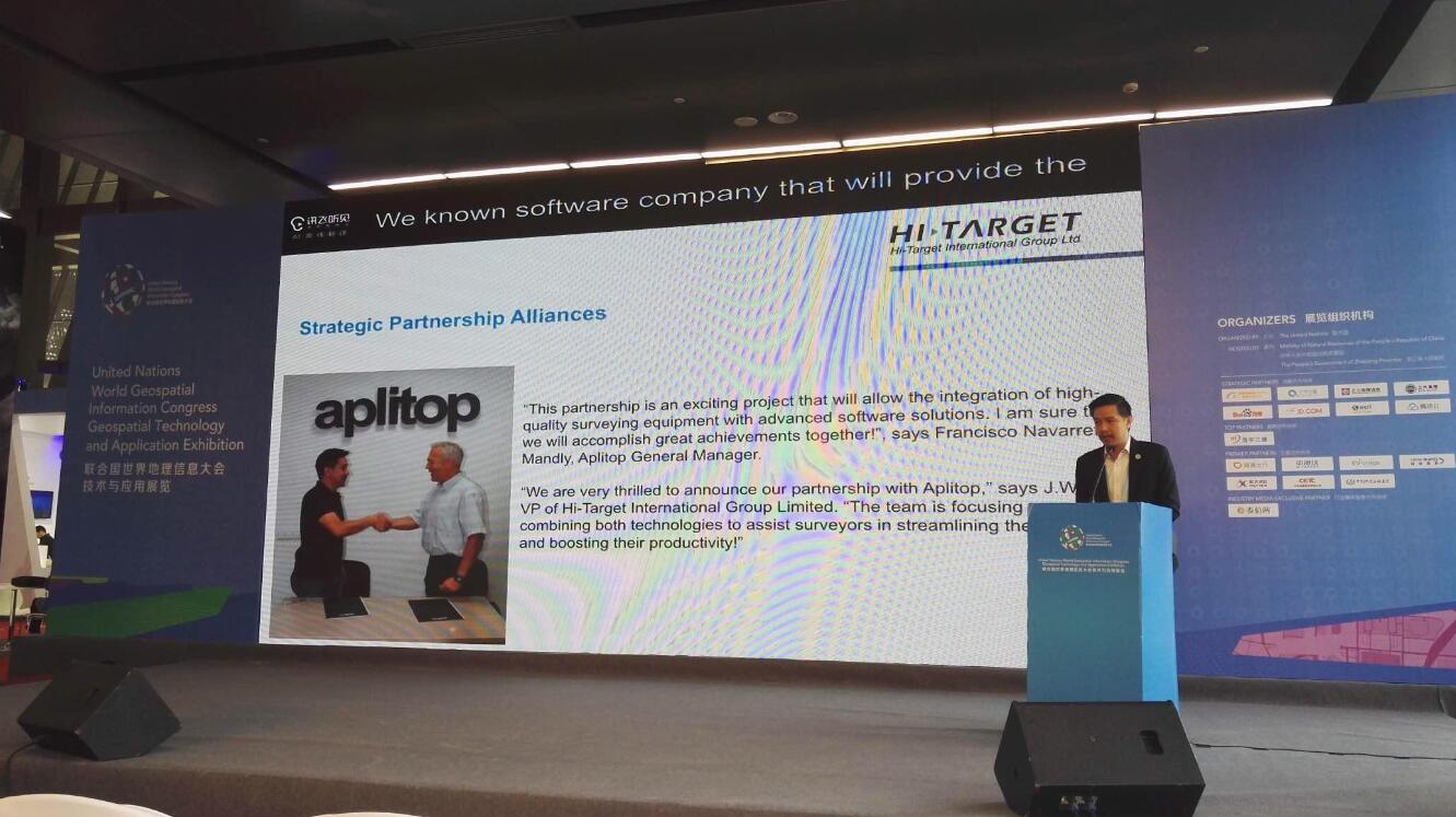
J.W Chen is introducing the partnership of Hi-Target International Group Ltd. and Aplitop at “The Power of Precise Positioning” -- Hi-Target Global Strategy Release.
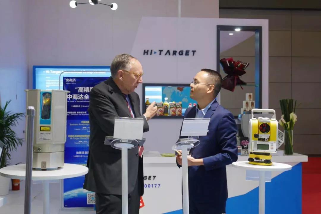
Richard Pan, the Product Director and Senior Engineer of Hi-Target International, and Jack Dangermond, the Global President of ESRI Inc, are having a nice talking at Hi-Target’s Booth.
Richard Pan is introducing Hi-Target Global PPP Service -- Hi-RTP.
What’s more, Hi-Target also announced the launch of Hi-Target Global PPP Service -- Hi-RTP at the Global Strategy Release. The Product Director and Senior Engineer of Hi-Target International Richard Pan introduced the Hi-RTP from Core Technology and Development Strategy, etc. in detail. It is known that the Hi-RTP consists of Global Satellite-based Positioning Augmentation Service and Ground-based Regional Positioning Augmentation Service. Compared with the traditional satellite-based augmentation system, the Hi-RTP precision positioning service system has four major advantages:
1. Able to cover any part of the world;
2. Able to broadcast the correction information through L-Band satellite and Internet service simultaneously. Users can up to their needs to access the data, flexible and easy-using.
3. Able to realize real-time high-precision positioning at any time and any place in the world without the need to set up the base station;
4. Able to provide three levels of location service: centimeter, decimeter, and sub-meter.
According to Mr. Pan, the Hi-RTP system will be commercially available in March 2019, and the supporting ground hardware RTK terminal will also be launched at the same time.
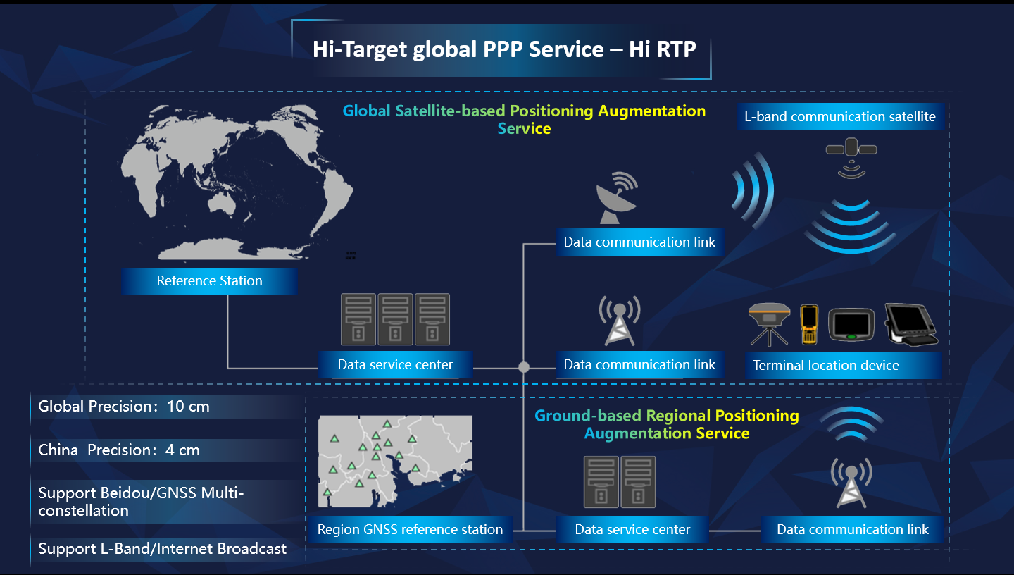
Hi-Target Global PPP Service -- Hi-RTP
The UNWGIC 2018 has come to an end, but “The Geospatial Way to a Better World” hasn’t. Let’s make concerted efforts to build up a better world.
Site Map  ©2025 Hi-Target and/or its subsidiaries and affiliates. All rights reserved.

©2025 Hi-Target and/or its subsidiaries and affiliates. All rights reserved.